Whiteleaf Cross
General Information
National Grid Ref SP 8217 0399
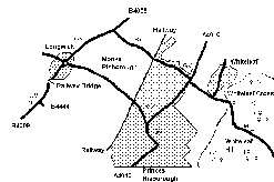
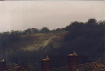
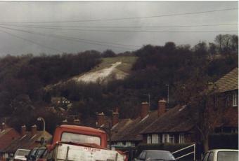
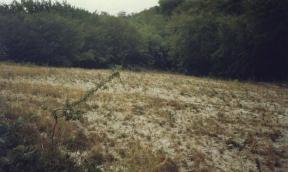
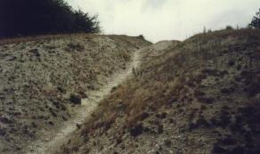
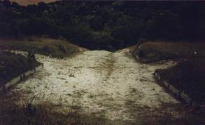
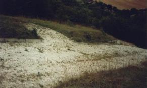
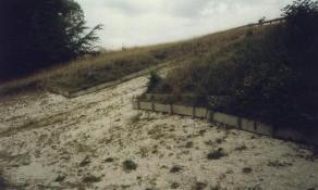
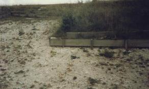
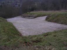
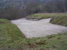
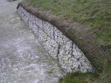
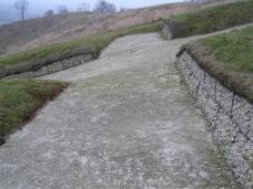
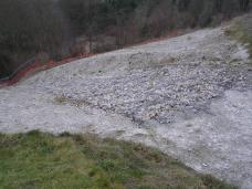
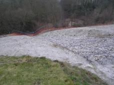
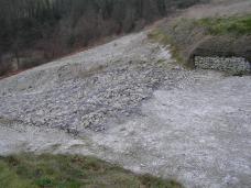
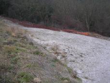
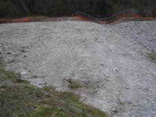
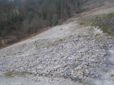
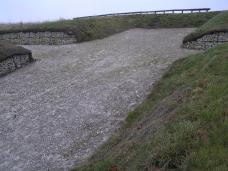
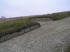
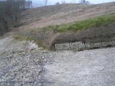
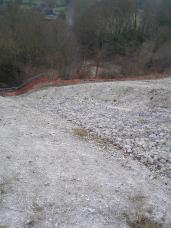
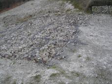
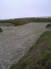
This large cross is situated 4 miles along the Icknield way from the Bledlow cross. It overlooks the vale of Aylesbury from Whiteleaf hill. It faces SW on a steepish slope sided by trees near the top of the hill. It is easily viewed from the B4009 east of Henton, particularly the parking place just before the B444 turn off. The best view is obtained if you continue along the B4009 through Longwick and take the next right turn to Monks Risborough, the cross is very conspicuous. It can also be well seen from many places in the center of Princess Risborough. The cross can be accessed by continuing on this road and across the A4010 into Peters Lane, continue up the hill and park in the National Trust car park on the left. Follow the path into the Nature reserve and the cross is on the slope down to the left at approx. 175m. The cross is in good condition, but the is base overgrown at the sides and deeply eroded down the center (6 deep in places). The chalk is quite compact, but soft and is therefore prone to erosion although the attentions of local children does not help. This wash-out is quite evident on both the slope and road below. There is some erosion control measures, wooden edging mainly on the cross itself. The cross is 79 wide and 85 high. The base is 171 along its edge and 340 along its lower edge and it is cut 1m deep into the natural chalk of the hill.
The cross is owned and maintained by Buckinghamshire CC who over the last 10 or so years have been carrying out a programme of secondary woodland and scrub removal around the cross, predominantly on the northern (left hand side as you look at it). This should "open up" the Cross and restore lost viewlines. This is a big task and hopefull will restore the cross to its former glory in the near future.
History.
The origins like the Bledlow cross are unknown, the earliest reference is to a phallic shaped boundary marker in 903, perhaps altered by monks into the cross. The earliest direct reference to the cross is from 1742, although a 14th century tile in nearby St Dunstans church is supposed to depict the cross, although I have been unable to locate it at this time. The size and appearance has changed since then currently being at its largest, the shaft to the cross is now parallel and not tapered (this occurred in 1826) and the base has become slightly unsymmetrical, which was first noted in 1936. The base was much narrower not dissimilar to the Watlington white mark. This was widened along with a major enlargement of the cross itself by the Earl of Buckinghamshire in 1826 producing the cross as we know it today. Conjecture is that the base was a bare patch of chalk and the cross added to it but there is no evidence to support this. Scouring was a time for festival and was carried out by the lord of the manor, but today the cross and the long barrow also on Whiteleaf hill are under the care of the the County Council. Another festival occurred on VE day when the brushwood concealment of the cross was removed and burnt.
Maps
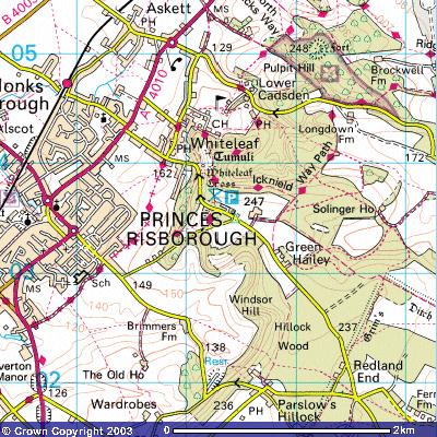
Image produced from the Ordnance Survey Get-a-map service. Image reproduced with kind permission of Ordnance Survey and Ordnance Survey of Northern Ireland.
Photo's
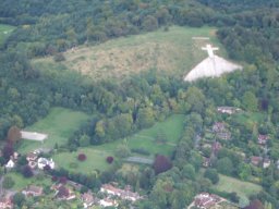
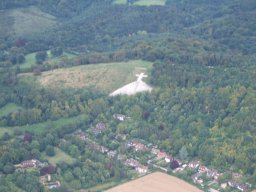
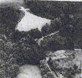
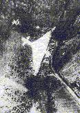
The Cross from the Air
Thanks to David Pamington for the above two photos
The Cross from the center of Princess Risborough.
The Base of the cross
The Erosion of the Center of the Cross
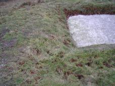
The Top of the Cross
Restoration measures 2005
References.
NMR SP80SW16
