Whittlesford Horse
General Information
National Grid Ref TL 471 475
Approx. 500' by 50', a ground investigation is planned after the crops are harvested.
Discovered recently (Sept 2004) with aerial photography by the Whittlesford Society Archive Project.
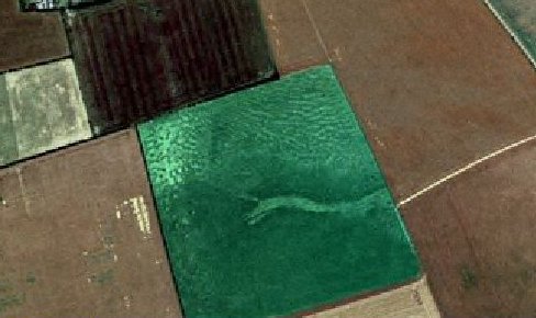
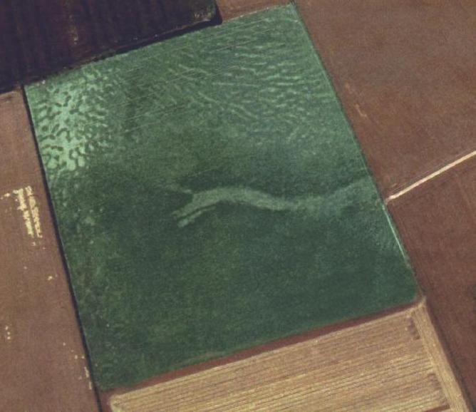
These photos were taken in 1999
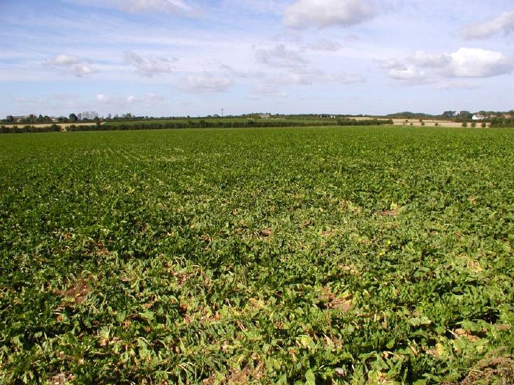
The ground showing the poor crop growth which can be seen in the aerial photos
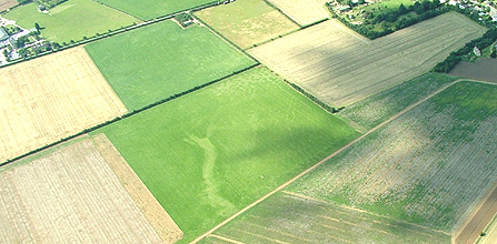
Reproduced Courtsey Whittlesford Society Archive Project