Compton Chamberlayne Australia Map
In Conjunction with the Fovant Badges Society
General Information
National Grid Ref SU 04302916
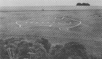
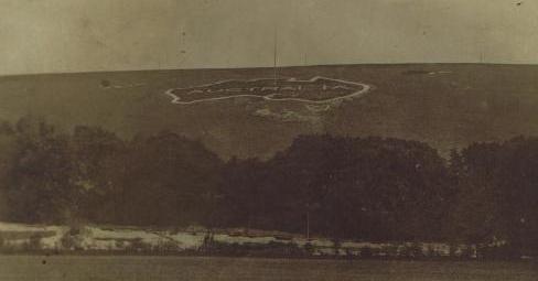
A map of the outline of Australia cut onto the downland above Compton Chamberlayne, the word Australia is cut inside the map. Average to Poor condition, although a little difficult to distinguish from distance.
History
Cut in 1916 by Australian troops during WWI this large badge is no longer financially supported and it is going to be allowed to grass over.
Fovant Badges Society
who care for the badges at Fovant, Sutton Mandeville and Compton Chamberlayne.
Maps
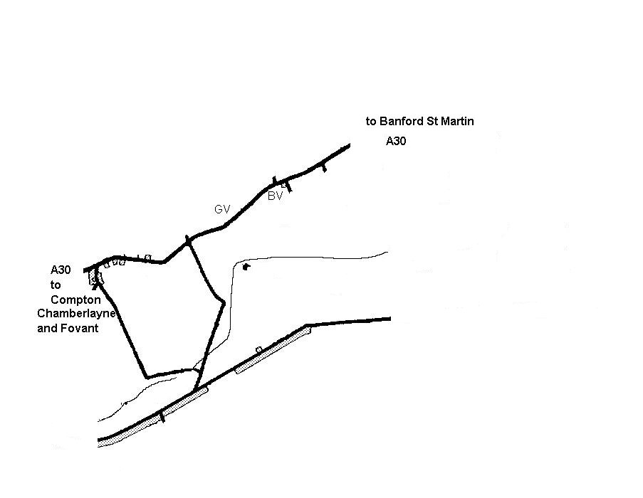
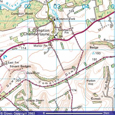
Image produced from the Ordnance Survey Get-a-map service. Image reproduced with kind permission of Ordnance Survey and Ordnance Survey of Northern Ireland.
Photos
2005 Now Lost
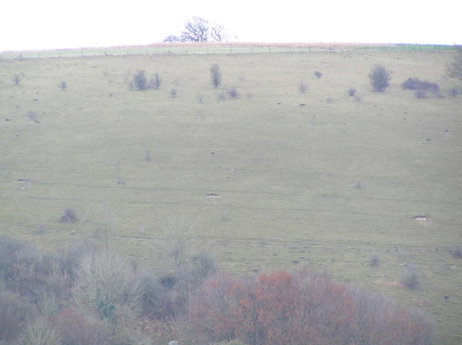
From the Ground
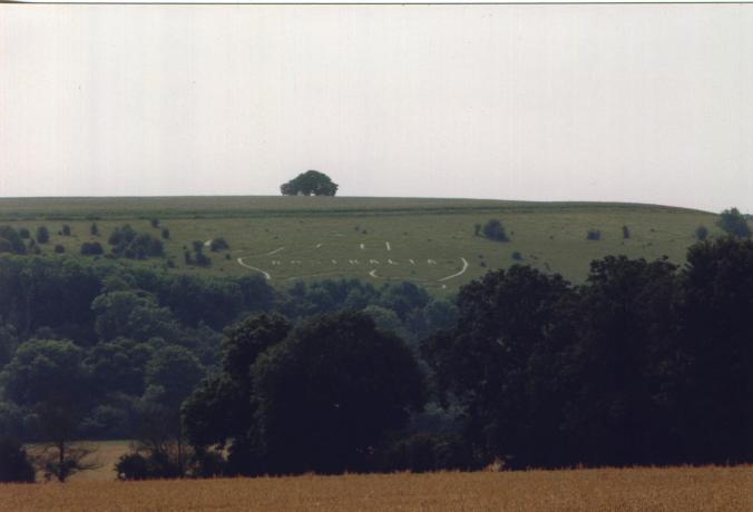
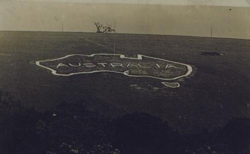
Aerial Photos
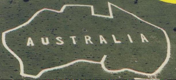
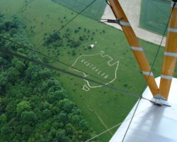
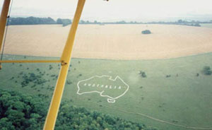
Reproduced With Permission from John Woods
References
Bergamar, K. (1986) Discovering Hill Figures. 3rd edn. Princes Risborough: Shire. 43-45.
Maples, M. (1981) White Horses and Other Hill Figures. 2nd edn. Stroud: Alan Sutton. 207, 215-216.
Newman, P. (1987) Gods and Graven Images: The Chalk Hill-Figures of Britain. 2nd edn. London: Robert Hale. 208-211.
Bergamar, K. (1968) Discovering Hill Figures. 1st edn. Princes Risborough: Shire. 43-46.
Bergamar, K. (1997) Discovering Hill Figures. 4th edn. Princes Risborough: Shire. 72-78.